What happened
Brazil’s National Foundation for Indigenous Peoples (Funai) has approved the reports that identify and map two Indigenous lands in the Amazon: a boundary revision for the Waimiri Atroari Indigenous Land, home to the Kinja people, and the new Mura do Médio Madeira Indigenous Land. Together the two areas cover about 1.5 million hectares, Funai said. The documents, known as RCIDs, were signed at Funai’s headquarters on Friday 6 November and published in Brazil’s official gazette on 10 November, G1 reported.
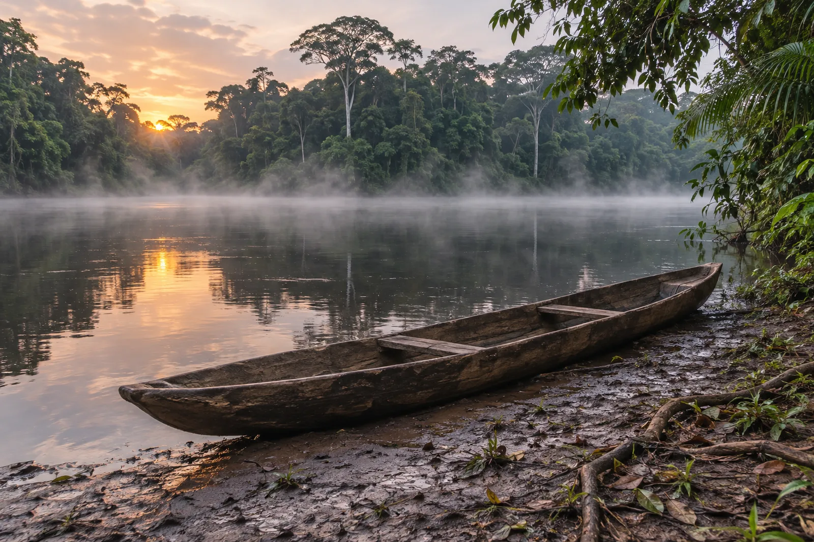
The Waimiri Atroari area is about 1.24 million hectares, spread across municipalities in Roraima, including Rorainópolis and São João da Baliza, and in Amazonas, including Novo Airão, Presidente Figueiredo and Urucará, Folha de Boa Vista reported. Its population is estimated at 2,673. The Mura do Médio Madeira land covers 268,872 hectares in the municipalities of Humaitá and Manicoré in Amazonas, where about 830 people live in 15 main villages, according to Funai.
Why it matters
The Waimiri Atroari land was homologated in 1989, but Funai began a boundary review in 2014 to correct losses suffered during the 20th century. Folha de Boa Vista reported that the building of the BR-174 highway, the Balbina hydroelectric dam and mining in the Pitinga area all reduced the people’s traditional territory. G1 reported that the population, once about 3,000, fell to around 370 after these interventions. The revision aims to include areas the Kinja use for living, hunting, fishing, gathering and travel, and places that hold their history.
“We waited years for this day to arrive,” Waimiri Atroari leader Warakaxi José Maria Atroari told Funai, describing how the community worked with its elders to identify where each area lay and ask for the return of the lands taken from them. “And today is a day of victory,” he said.
For the Mura, the land includes lakes such as Capanã Grande, Baetas and Acará, and faces pressure from land-grabbing, illegal logging, gold mining, deforestation and plans around the BR-319 highway, Funai said. “The signing of this report is a dream that is coming true for us,” said Mura leader Adamor de Lima Leite. (Quotes translated from Portuguese.)
A regularised land needs to be protected so that people do not live in fear. It is our obligation, the State’s, to make this historical reparation.
Lucia Alberta Baré, Funai (translated from Portuguese)
The wider picture
The two studies are part of a wider push. Since 2023, Funai has approved 23 identification studies covering about 10 million hectares, while 20 territories have been homologated, covering more than 3.2 million hectares, and 21 declared, covering more than 1.5 million hectares, according to Folha de Boa Vista. Some 156 working groups are now active. In an interview with Brasil de Fato, Indigenous Peoples Minister Eloy Terena said the government aims to present a further set of lands to President Lula for signature before December.
The context is difficult. Terena linked violence against Guarani Kaiowá communities in Mato Grosso do Sul to slow demarcation. He also noted that Congress passed a law setting a “marco temporal”, or time-limit thesis, after the Supreme Court ruled the idea unconstitutional in September 2023, and that the law remains in force. “Anything we sign is taken to court,” he told Brasil de Fato. In GGND’s view, that is the biggest risk for both lands.
Could it work elsewhere?
Brazil’s process is slow but transparent: technical studies, a public period for objections, then political sign-off. In GGND’s view, the Waimiri Atroari review is a useful example for any country with Indigenous lands cut by roads, dams or mines, because it treats past losses as something the state can correct, not just regret.
What remains unresolved
- First stage only. Funai’s Nina Paiva Almeida said the approval “is only the first stage”. Under Decree 1,775 of 1996, objections, a Justice Ministry declaration, physical demarcation, presidential homologation and registration must follow.
- No timetable. Amazonas1 reported that no public deadline has been set for the next steps.
- Overlaps. Part of the Mura land overlaps the Lago do Capanã Grande extractive reserve, with seven villages inside it, and 19 non-Indigenous family groups live in the area, according to Funai.
- How much is new. The reports we read do not say how much of the revised Waimiri Atroari area is new compared with the boundary approved in 1989.
What happens next
The publication in the gazette opens a period in which states, municipalities and other interested parties can contest the studies. After that, the case goes to the Justice Ministry. Lucia Alberta Baré of Funai said the state has a duty to protect the land so that “people do not live in fear”. GGND will follow both cases.
Sources
- Funai Funai avança e aprova a identificação e delimitação de mais duas terras indígenas nos estados do Amazonas e de Roraima (November 2026)
- G1 Amazonas Funai reconhece estudos de duas terras indígenas com áreas no AM; territórios somam 1,5 milhão de hectares (10 November 2026)
- Folha de Boa Vista Funai aprova revisão de limites da Terra Indígena Waimiri Atroari entre Roraima e Amazonas (10 November 2026)
- Amazonas1 Funai aprova novo traçado para a Terra Indígena Waimiri Atroari (November 2026)
- Brasil de Fato Em meio à onda de violência contra povos indígenas, governo prepara novas demarcações ainda em 2026, afirma ministro (8 November 2026)
Analysis and context are by The GGND Team. Where we draw our own conclusions, we say so. To report an error, contact us.