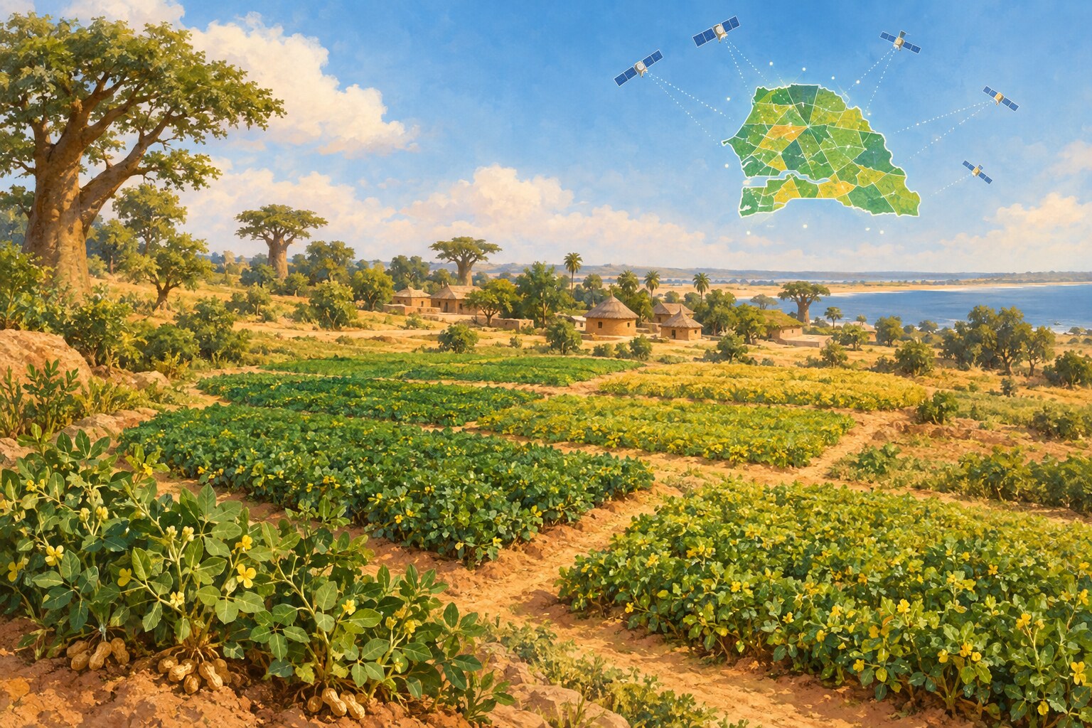
Researchers tested satellite-based crop mapping in Senegal's groundnut-growing region, where many farmers work small plots and detailed field surveys can be difficult to collect.
Their method used TESSERA, an open geospatial model that turns satellite observations into information that can be used to classify crops. In the team's tests, it used 78 percent less computing than a time-series approach and improved relative accuracy by 28 percent in one test that applied the model to a different year.
More accessible crop maps could help public agencies and food-security organizations estimate what is being grown and plan where support may be needed. The study describes a planning tool, not a completed change in food security.
The researchers also note that the approach still needs some ground data and that its performance can vary with the quality of those observations.