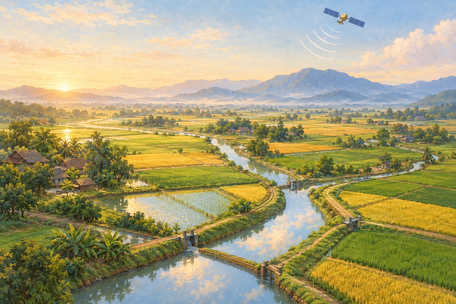
Irrigation canals carry water to crops, but many agricultural areas lack enough gauges and inspections to track how water moves through them.
University of Washington researchers analyzed data from NASA's Surface Water and Ocean Topography satellite alongside maps of canals in 22 Asian countries. Across roughly 800,000 kilometers of canals, the team found water levels could be measured with moderate to high confidence at many locations.
The satellite was designed to study larger bodies of water, not narrow canals. Dense vegetation made some observations harder, and the study is a proof of concept rather than a ready-made monitoring service.
Researchers are now building practical systems that could use the data to support water management in South Asia and the western United States. The study was published in Geophysical Research Letters on September 30.