
A company called Lunar Station is using about 60 years of lunar data from NASA and other space agencies to help plan future work on the Moon.NASA’s open-source Ames Stereo Pipeline turns images from satellites, rovers, and older missions into three-dimensional terrain maps that show features such as rocks and elevation.Lunar Station’s MoonHacker programme combines data in NASA’s Planetary Data System to look for signs of shallow pits that may contain water. The same tools can help plan landing sites, rover routes, mining research, and communications.The company also uses a digital twin of a rover or satellite to model radiation exposure during a mission. That lets engineers think through the protection a spacecraft may need before it travels.
Global Good News Daily · Science & Technology
NASA Data Is Helping Plan Future Work on the Moon
A commercial space company is combining decades of NASA mapping and sensor data to plan safer lunar landings, rover routes, and communications.
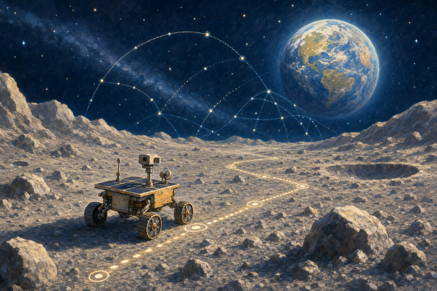
Open NASA data is being put to practical use by a commercial space company, helping turn decades of public science into better-informed plans for exploring the Moon.
This story was verified against an original report. Read the source: NASA
View original source →If stories like this matter to you…
GGND is a small, independent team. A working journalist ensures every story is verified and told with care. A small monthly gift helps us keep finding stories like this one.
Support Good NewsRelated good news
All stories →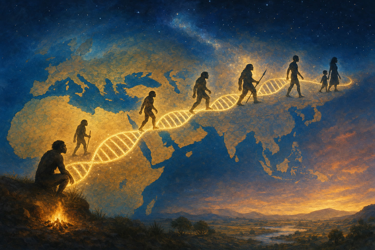
A New Tool Traced Hidden Branches of the Human Family Tree in Our DNA
UC Berkeley researchers used genomes from living people to find evidence that two unknown ancient human relatives left traces in modern DNA.

Thailand Added 40 More Protected Areas for the Red-Whiskered Bulbul
After a change in the bird's legal status, Thailand moved quickly to close a protection gap in 40 existing no-hunting areas.

The Ozone Layer Is Healing Years Ahead of Schedule
Nearly 40 years after the world agreed to stop using ozone-destroying chemicals, the protective layer is recovering faster than expected, proof that a global agreement can actually work.