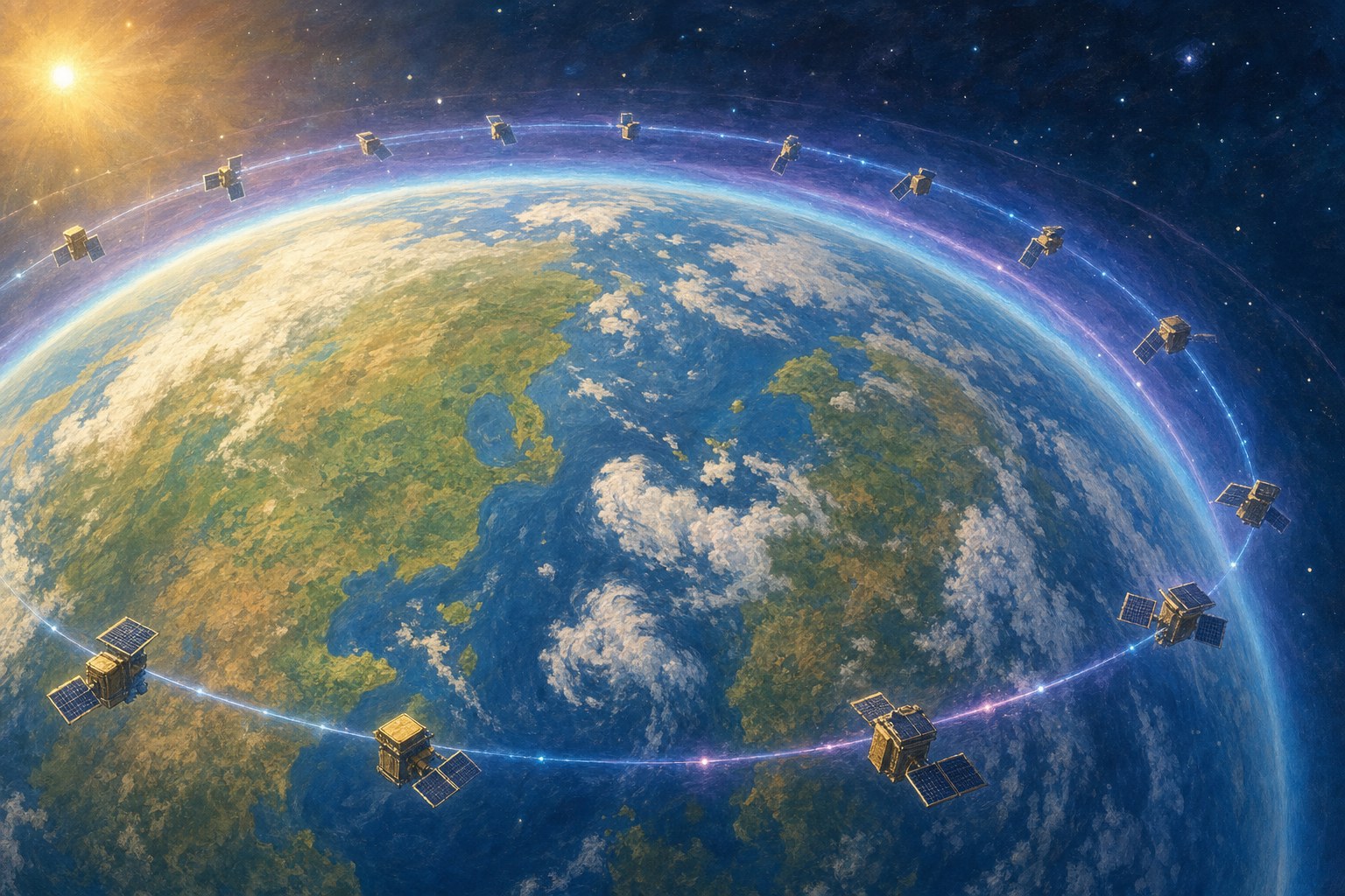
Researchers at Kyoto University have developed a new way to study the thermosphere, a thin layer of Earth's upper atmosphere that stretches from roughly 100 to 1,000 kilometers above the surface.
Their method uses publicly available orbital information from about 1,200 Starlink satellites flying at an altitude of 482 kilometers. Tiny changes in a satellite's orbit reveal how much atmospheric drag it is experiencing.
The team used those measurements in a mathematical technique called tomography, the same broad idea used to build images inside the human body. The result was a two-dimensional map showing how the thermosphere's density varies across the planet.
The early map agreed well with independent measurements from the European Space Agency's SWARM satellites. With more work, the approach could help improve space-weather forecasts and make satellite operations safer.